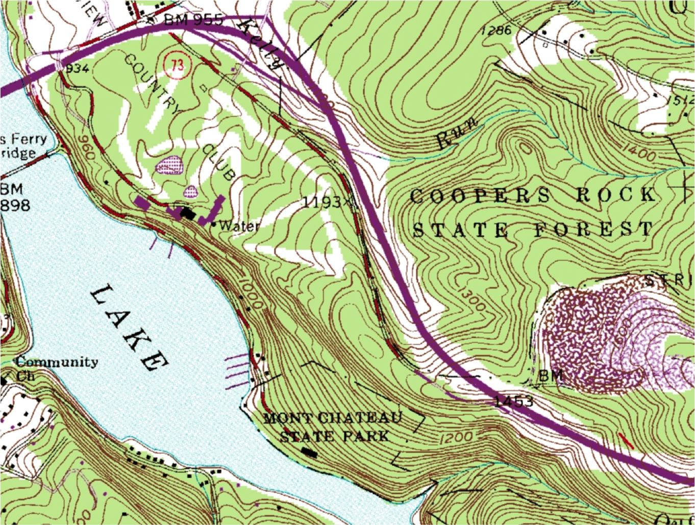
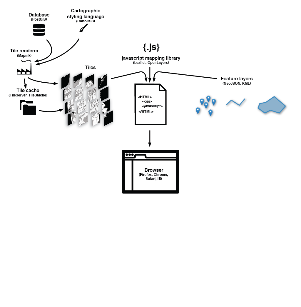
...there are other mapping libraries out there that can handle different projections, distortions, and animations... plus whatever else you want to do.
We should still strive for sound cartography in mashups.
A few high level concepts from cartography, which is a visual enterprise:
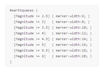
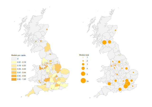
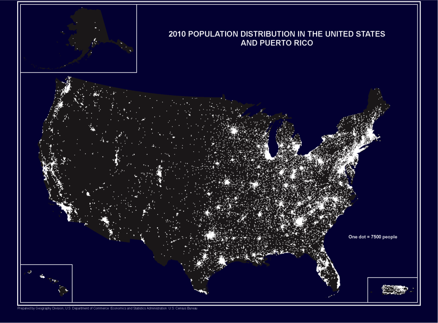
1. Visual variables
2. Visual hierarchy
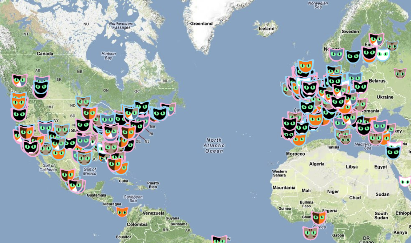
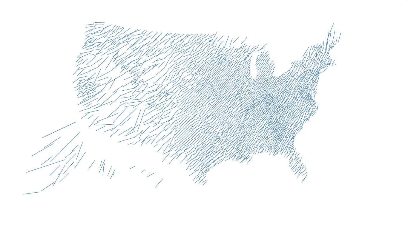
BAD ←
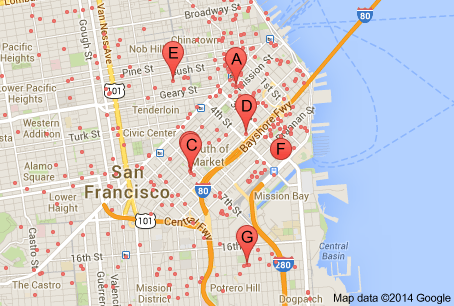
GOOD →
3. Visual argument
An important concept for web cartography is "screen real-estate"
Space is scarce
Mobile vs. desktop
Fluid vs. compartmentalized layout
Slippy map is a way around all of this but.... for some maps it is overkill & potentially a cop-out.
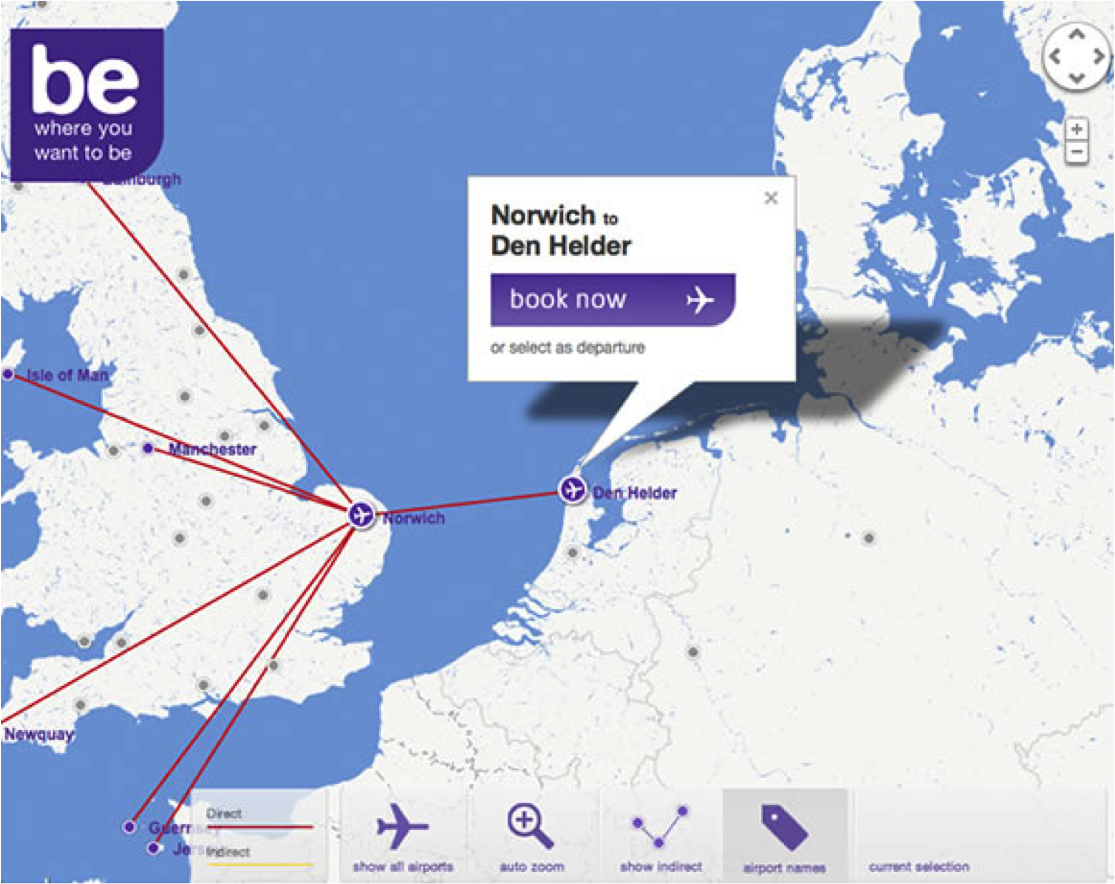
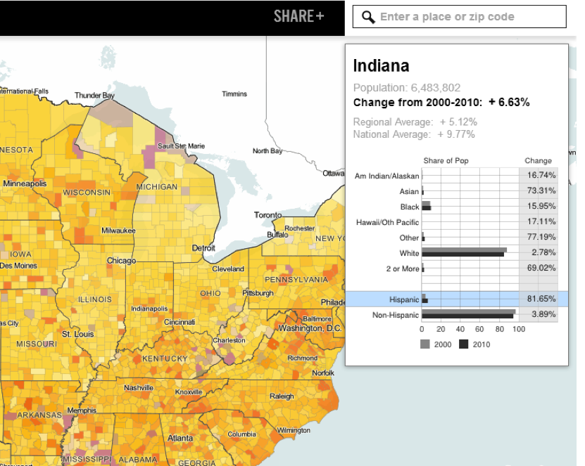
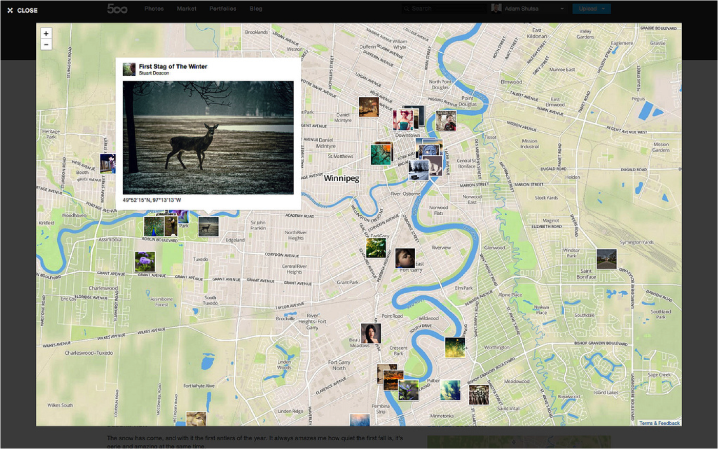
The main thing the web brings to cartography is interactivity, which can take many forms.
In web design and development, people make entire careers out of designing for interactivity. The field is called UI/UX, which is shorthand for user interface and user experience.
It means you think through how people who visit your site will interact with it, and you design the interface to guide the user toward the experience you want them to have.
UI/UX is a really important component of web mapping.
Project managers creating government web portals for geospatial data, I am talking to you.
For this reason, while it makes sense in print cartography to talk about map readers, in web cartography we talk about map users.
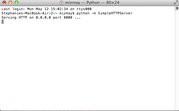
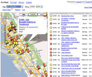
In our first session, we saw some forms of interactivity that are standard in out of the box tools.


 D3
D3 IS
IS IN
IN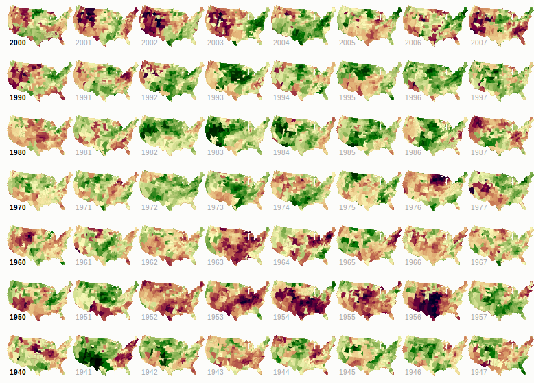 SANE
SANE